Trails, Maps, & Routes
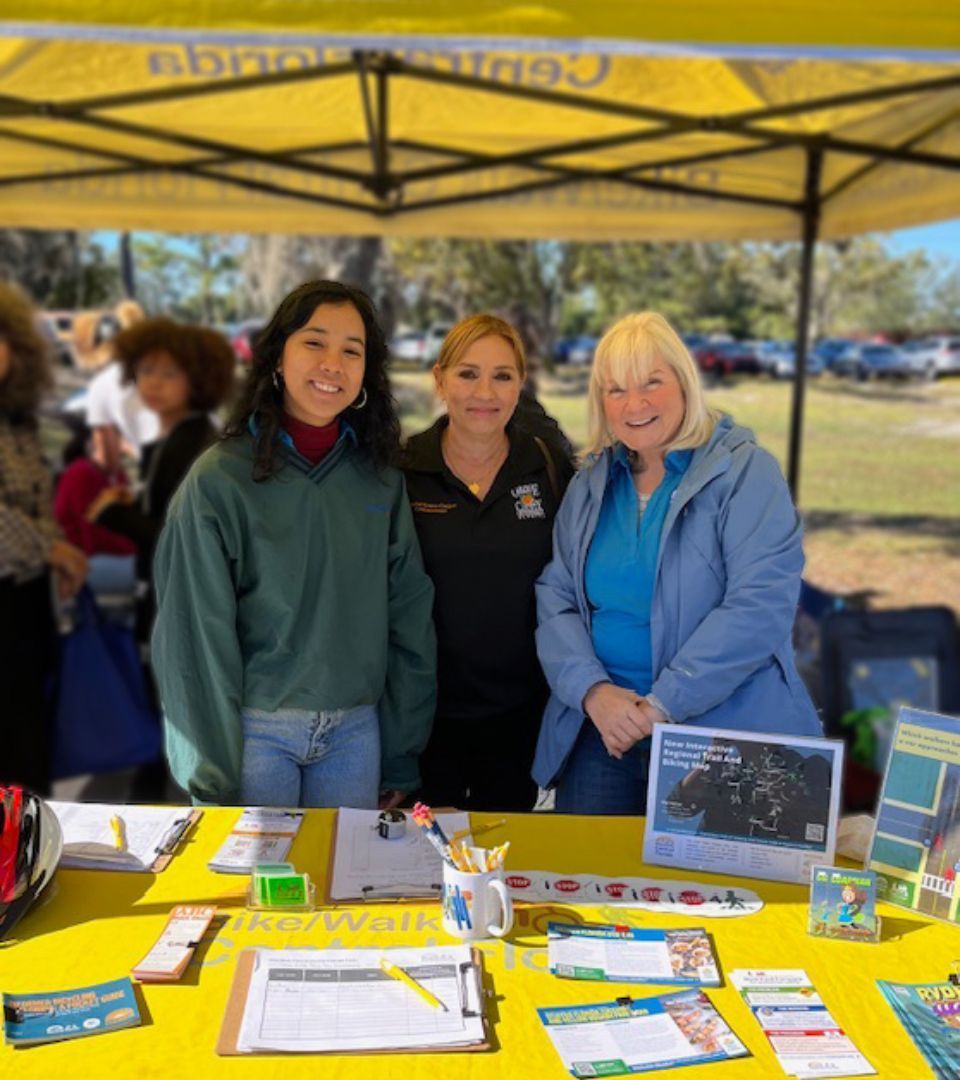
Central Florida offers a growing network of trails, shared-use paths, and on-street bike routes that connect neighborhoods, parks, and city centers. Whether you're walking for health or biking to work, our region is full of scenic and functional pathways to explore.
New to biking or hiking? Be sure to visit our Rules of the Road page before heading out.
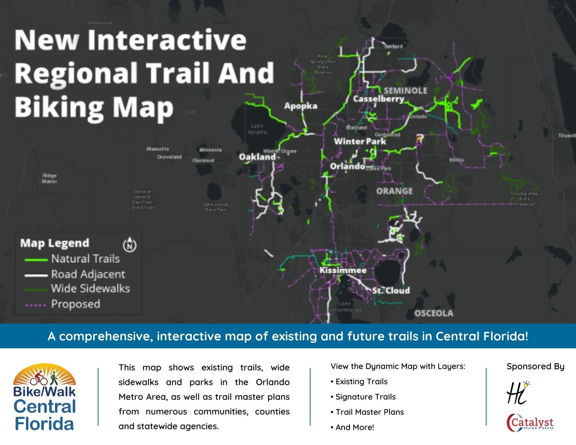
Interactive Regional Trail Map
Use our interactive map to explore biking and walking trails throughout Central Florida. Filter by trails and cycle tracks, bike lanes, sidewalks, and parks to plan your perfect outing.
The Regional Trail Mapping Application is sponsored by Lee Hale of Hale Innovation and Catalyst Design Group.
Bike 5 Routes on Ride with GPS
BIKE 5 routes are available year-round as a community resource for exploring and navigating connected trails and streets across Central Florida. These permanent routes are hosted on Ride with GPS and include detailed maps, turn-by-turn directions, and downloadable files to help you plan your ride with confidence.
Whether you’re training, commuting, or discovering new connections, these routes highlight how active transportation networks link communities beyond event day.
Need to report a bike or pedestrian infrastructure issue?
Use our local government resource list to find the right parks or public works department in your community and submit a repair request.
Related Resources
Looking to go a step further? These resources can help you stay safe, informed, and involved while walking, biking, or rolling in your community.

Rules of the Road
Understand the rules of the road and trails for pedestrians and cyclists in Florida.
Advocacy & Community Action
Get involved in local efforts to create safer, more connected streets.